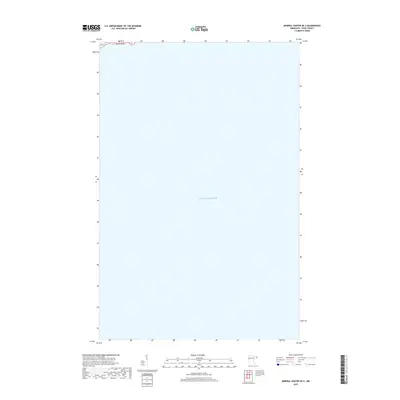
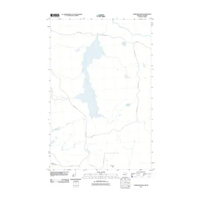
2019 Map of Mineral Center OE S
USGS Topo · Published 2019About this map
Lake Superior dominates this nautical and coastal landscape in northeastern Cook County, Minnesota. The 2019 survey documents a specific offshore expanse within the T62n R5e township range, showcasing the shoreline's position during the late 2010s. This specific perspective illustrates the vastness of the Great Lake just south of the Mineral Center area, providing a clear record of the hydrography and public land survey boundaries as they stood in this modern era of mapping.
Find a feature on this map
2 named features on this map. Tap any name to fly to it.
Don’t see what you’re looking for? This feature index may not catch every label — zoom into the map to look around manually.
Map Details
Editions of this 2019 Mineral Center OE S Map
This is the sole edition of this map. No revisions or reprints were ever made.
Other maps of this area

1958 · Hancock
USGS Topo · 1:250,000

1959 · Mineral Center
USGS Topo · 1:24,000

1960 · Hancock
USGS Topo · 1:250,000
1960 · Farquhar Peak
USGS Topo · 1:24,000
1960 · Hovland
USGS Topo · 1:24,000

1961 · Hancock
USGS Topo · 1:250,000

1966 · Hancock
USGS Topo · 1:250,000

1985 · Grand Portage
USGS Topo · 1:100,000
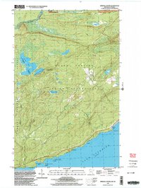
1999 · Mineral Center
USGS Topo · 1:24,000
2011 · Farquhar Peak
USGS Topo · 1:24,000