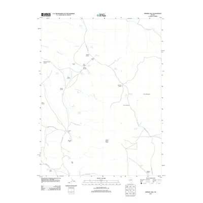
2012 Map of Mineral Hill
USGS Topo · Published 2012About this map
Mineral Hill serves as a central landmark in this high-desert landscape of Elko County, where the terrain is defined by the Sulphur Spring Range and the prominent heights of Union Mountain. The map illustrates a network of canyons and springs that have long dictated the movement and settlement of the region. Scattered ranches like Plummer Ranch and Bruffey Ranch appear alongside geological features such as Bruffey Hot Springs and Cave Hill. The presence of Coal Canyon and Austin Canyon suggests the mineral-rich nature of the area, while the network of unpaved routes including the Sadler-Siri-Union road and Union Summit Rd connect these remote outposts. Numerous water sources, from Aiken Spring to Ten Voord Spring, highlight the essential infrastructure for ranching and prospecting in this arid environment.
Find a feature on this map
46 named features on this map. Tap any name to fly to it.
Don’t see what you’re looking for? This feature index may not catch every label — zoom into the map to look around manually.
Map Details
Editions of this 2012 Mineral Hill Map
This is the sole edition of this map. No revisions or reprints were ever made.
Other maps of this area

1934 · Jiggs
USGS Topo · 1:125,000

1937 · Mineral Hill
USGS Topo · 1:48,000

1937 · Jiggs
USGS Topo · 1:125,000

1943 · Mineral Hill
USGS Topo · 1:62,500

1952 · Pine Valley
USGS Topo · 1:62,500

1955 · Winnemucca
USGS Topo · 1:250,000

1955 · Elko
USGS Topo · 1:250,000

1956 · Robinson Mtn
USGS Topo · 1:62,500

1958 · Winnemucca
USGS Topo · 1:250,000

1958 · Elko
USGS Topo · 1:250,000