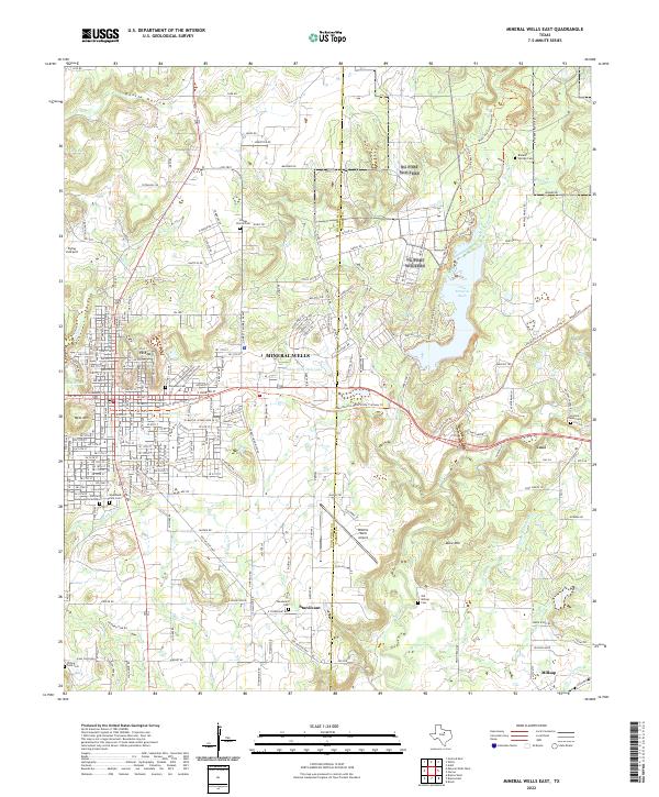
2022 Map of Mineral Wells East
USGS Topo · Published 2022About this map
The city of Mineral Wells serves as the focal point of this 2022 survey, illustrating the modern footprint of the community alongside its historic landmarks. Significant genealogical sites are scattered across the landscape, from the Staggs Prairie Cem north of town to the Richard Underwood Gravesite and Elmwood Cem within the municipal boundaries. To the east, the waters of Lake Mineral Wells are surrounded by a network of recreational paths, including the Primitive Hiking Trl and the Multi-Use Cross Timbers Trl.
Find a feature on this map
234 named features on this map. Tap any name to fly to it.
Don’t see what you’re looking for? This feature index may not catch every label — zoom into the map to look around manually.
Map Details
Editions of this 2022 Mineral Wells East Map
This is the sole edition of this map. No revisions or reprints were ever made.
Other maps of this area

1891 · Weatherford
USGS Topo · 1:125,000

1891 · Palo Pinto
USGS Topo · 1:125,000

1893 · Weatherford
USGS Topo · 1:125,000

1918 · Palo Pinto
USGS Topo · 1:125,000

1924 · Palo Pinto 1-b
USGS Topo · 1:48,000

1925 · Palo Pinto 4-b
USGS Topo · 1:48,000

1927 · Mineral Wells
USGS Topo · 1:62,500

1931 · Dennis
USGS Topo · 1:62,500

1931 · Santo
USGS Topo · 1:62,500

1954 · Dallas
USGS Topo · 1:250,000