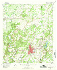
1959 Map of Mineral Wells
USGS Topo · Published 1969About this map
The Brazos River carves a series of dramatic tight loops across this landscape, creating named landforms like Hart Bend, Metcalf Bend, and Moffitt Bend. In the late 1950s, the area's geography is defined by the proximity of the Camp Wolters military installation to the city of Mineral Wells. The map details the infrastructure of the burgeoning helicopter training center, including multiple numbered sites like Helicopter Stage Field No 2 and the residential Wolters Village. Transportation and industry are anchored by the Weatherford Mineral Wells and Northwestern RR and a large substation near the urban center. Family history is well-preserved through numerous small burying grounds such as Pollard Cem and Hittson Cem, alongside rural landmarks like Rock Creek Ch and several country schools that served the surrounding ranching and farming communities before mid-century consolidation.
Find a feature on this map
77 named features on this map. Tap any name to fly to it.
Don’t see what you’re looking for? This feature index may not catch every label — zoom into the map to look around manually.
Map Details
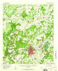
Editions of this 1959 Mineral Wells Map
2 editions found
Other maps of this area

1891 · Weatherford
USGS Topo · 1:125,000

1891 · Palo Pinto
USGS Topo · 1:125,000

1893 · Weatherford
USGS Topo · 1:125,000

1918 · Palo Pinto
USGS Topo · 1:125,000

1924 · Palo Pinto 2-a
USGS Topo · 1:48,000

1924 · Palo Pinto 1-b
USGS Topo · 1:48,000

1925 · Palo Pinto 4-b
USGS Topo · 1:48,000

1927 · Pickwick
USGS Topo · 1:62,500

1927 · Mineral Wells
USGS Topo · 1:62,500

1931 · Dennis
USGS Topo · 1:62,500