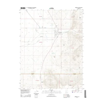
2014 Map of Minersville
USGS Topo · Published 2014About this map
Minersville sits at the intersection of a complex irrigation network and the high desert landscape of southwestern Utah. This survey documents the critical water management systems that sustain the community, including the Low Line Canal, Minersville Canal, and specialized local works like The Mile Ditch and Utopia Ditch. These man-made features contrast with the natural flow of the Beaver River, which provides the lifeline for agriculture in the eastern reaches of the Escalante Desert.
Find a feature on this map
49 named features on this map. Tap any name to fly to it.
Don’t see what you’re looking for? This feature index may not catch every label — zoom into the map to look around manually.
Map Details
Editions of this 2014 Minersville Map
This is the sole edition of this map. No revisions or reprints were ever made.
Other maps of this area

1885 · Beaver
USGS Topo · 1:250,000

1953 · Ninemile Knoll
USGS Topo · 1:24,000

1953 · Milford Flat
USGS Topo · 1:24,000

1953 · Minersville
USGS Topo · 1:24,000

1953 · Cave Canyon
USGS Topo · 1:24,000

1953 · Richfield
USGS Topo · 1:250,000

1958 · Richfield
USGS Topo · 1:250,000

1958 · Minersville
USGS Topo · 1:62,500

1958 · Thermo
USGS Topo · 1:62,500

1958 · Milford
USGS Topo · 1:62,500