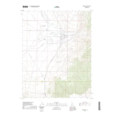
2023 Map of Minersville
USGS Topo · Published 2023About this map
Minersville sits at a critical hydrologic junction where the Beaver River emerges from the Mineral Mountains to meet the expansive Escalante Desert. This desert landscape is defined by an intricate network of early and modern irrigation systems, including the Low Line Canal, North Ditch, Minersville Canal, and the curious The Mile Ditch. These waterways represent the vital infrastructure required to sustain agriculture in the arid valley between the Yellow Mountain and the Black Mountains.
Find a feature on this map
32 named features on this map. Tap any name to fly to it.
Don’t see what you’re looking for? This feature index may not catch every label — zoom into the map to look around manually.
Map Details
Editions of this 2023 Minersville Map
This is the sole edition of this map. No revisions or reprints were ever made.
Other maps of this area

1885 · Beaver
USGS Topo · 1:250,000

1953 · Ninemile Knoll
USGS Topo · 1:24,000

1953 · Milford Flat
USGS Topo · 1:24,000

1953 · Minersville
USGS Topo · 1:24,000

1953 · Cave Canyon
USGS Topo · 1:24,000

1953 · Richfield
USGS Topo · 1:250,000

1958 · Richfield
USGS Topo · 1:250,000

1958 · Minersville
USGS Topo · 1:62,500

1958 · Thermo
USGS Topo · 1:62,500

1958 · Milford
USGS Topo · 1:62,500