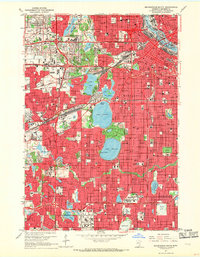
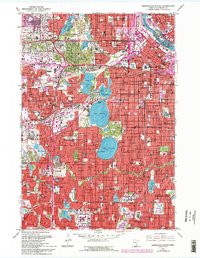
1967 Map of Minneapolis South
USGS Topo · Published 1969About this map
The Mississippi River defines the northeastern corner of this 1967 snapshot of the Twin Cities, where the industrial and educational core of Minneapolis transitions into the expanding post-war suburbs of Edina and Richfield. This era shows the dense urban grid of the city proper, home to the University of Minnesota and the Courthouse, giving way to major mid-century developments like the Southdale shopping center. The map documents a landscape defined by its chain of lakes, from Lake of the Isles down to Lake Harriet, which are surrounded by established residential districts and landmark institutions like Lakewood Cemetery.
Find a feature on this map
195 named features on this map. Tap any name to fly to it.
Don’t see what you’re looking for? This feature index may not catch every label — zoom into the map to look around manually.
Map Details
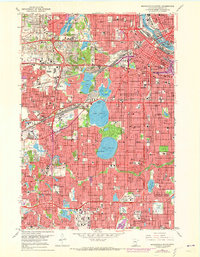
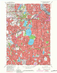
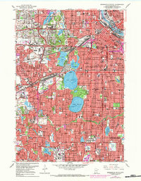
Editions of this 1967 Minneapolis South Map
6 editions found
Historical Maps of North Tyrol Through Time
9 maps found
1952 Minneapolis North
Hennepin County, MN
1952 Minneapolis South
Hennepin County, MN
1958 Lake Minnetonka
Hennepin County, MN
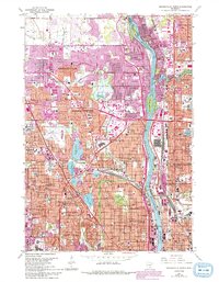
1967 Minneapolis North
Hennepin County, MN
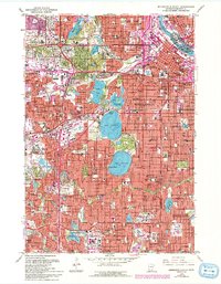
1967 Minneapolis South
Hennepin County, MN
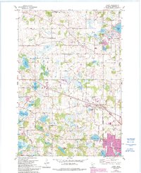
1981 Hamel
Hennepin County, MN
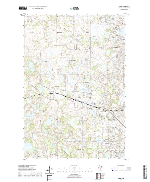
2022 Hamel
Hennepin County, MN
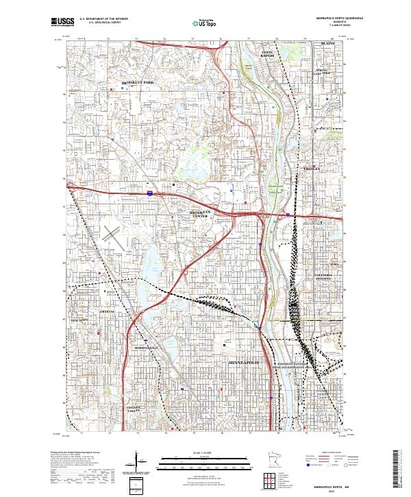
2022 Minneapolis North
Hennepin County, MN
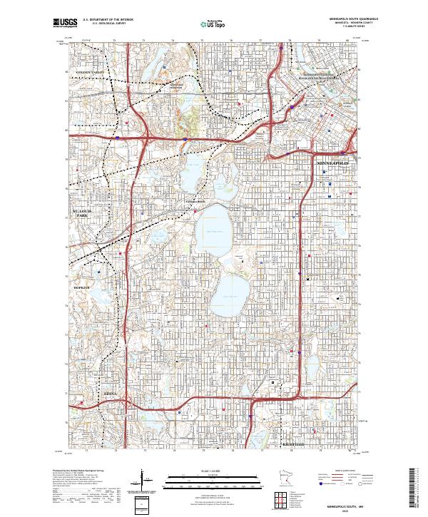
2022 Minneapolis South
Hennepin County, MN