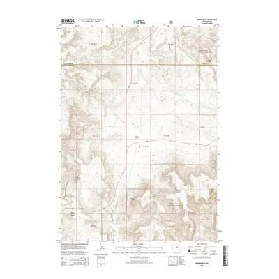
2015 Map of Minnekahta
USGS Topo · Published 2015About this map
Minnekahta occupies a central point in this landscape of the southern Black Hills, where the drainage of Hot Brook meets the surrounding high ground. The terrain is defined by a series of named canyons and peaks, including Parker Peak, Matias Peak, and the descriptive Stone Quarry Canyon. This 2015 survey illustrates a modern transition in land use, most notably through the George S Mickelson Trl, which follows a historic rail corridor through the rugged limestone and ponderosa pine environments of the Black Hills National Forest.
Find a feature on this map
28 named features on this map. Tap any name to fly to it.
Don’t see what you’re looking for? This feature index may not catch every label — zoom into the map to look around manually.
Map Details
Editions of this 2015 Minnekahta Map
This is the sole edition of this map. No revisions or reprints were ever made.
Other maps of this area

1896 · Harney Peak
USGS Topo · 1:125,000

1901 · Harney Peak
USGS Topo · 1:125,000

1902 · Edgemont
USGS Topo · 1:125,000

1950 · Edgemont
USGS Topo · 1:24,000

1950 · Cascade Springs
USGS Topo · 1:24,000

1950 · Edgemont NE
USGS Topo · 1:24,000

1950 · Minnekahta
USGS Topo · 1:24,000

1950 · Flint Hill
USGS Topo · 1:24,000

1951 · Minnekahta NE
USGS Topo · 1:24,000

1954 · Jewel Cave SE
USGS Topo · 1:24,000