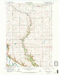
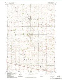
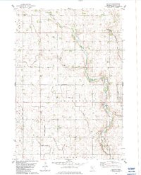
1965 Map of Minnesota Falls
USGS Topo · Published 1967This historical map portrays the area of Minnesota Falls in 1965, primarily covering Renville County as well as portions of Chippewa County and Yellow Medicine County. Featuring a scale of 1:24000, this map provides a highly detailed snapshot of the terrain, roads, buildings, counties, and historical landmarks in the Minnesota Falls region at the time. Published in 1967, it is one of 2 known editions of this map due to revisions or reprints.
Find a feature on this map
19 named features on this map. Tap any name to fly to it.
Don’t see what you’re looking for? This feature index may not catch every label — zoom into the map to look around manually.
Map Details
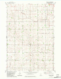
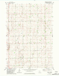
Editions of this 1965 Minnesota Falls Map
2 editions found
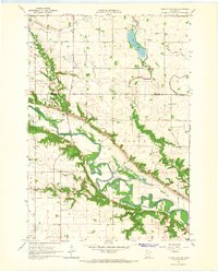
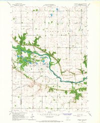
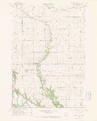
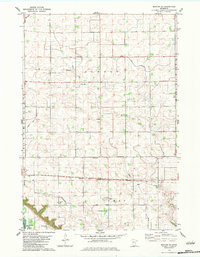
Historical Maps of Granite Falls Through Time
11 maps found
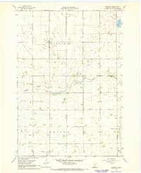
1964 Sleepy Eye NW
Renville County, MN
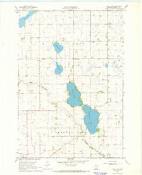
1965 Iverson Lake
Renville County, MN
1965 Minnesota Falls
Renville County, MN
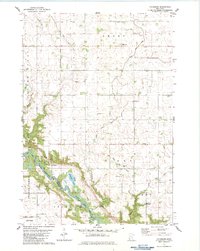
1967 Churchill
Renville County, MN
1967 Lake Allie
Renville County, MN
1982 Olivia SE
Renville County, MN
1982 Vicksburg
Renville County, MN
1983 Bechyn
Renville County, MN
1983 Morton NE
Renville County, MN
1983 Morton NW
Renville County, MN
1983 Morton SE
Renville County, MN
Featured Locations
- Granite Falls, MN
- Yellow Medicine County, MN
- Chippewa County, MN
- Renville County, MN
- Minnesota Falls, MN