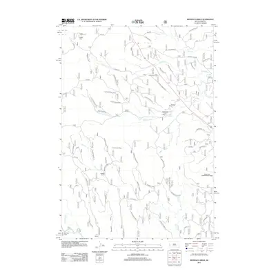
2012 Map of Minnesota Ridge
USGS Topo · Published 2012About this map
Custer Peak and its associated Custer Lookout Tower overlook a landscape defined by the drainage basins of the N Boxelder Cr and Middle Boxelder Cr. This 2012 survey shows the area during a period of sustained forest management and recreational development, centered around the Minnesota Ridge and the Black Hills Experimental Forest. The network of Forest Service roads, such as FS RD 216 and FS RD 688, provides access to various timber and research sites. Local history is anchored by the Mountain Meadow Cem and Roubaix Lake Cemetery, which speak to the area's early settlement near the Nasby locality. Water resources are prominent, including Roubaix Lake and its campground, alongside several named drainages like Greens Gulch and Irish Gulch, which suggest the historic prospecting and ranching roots of Pennington County.
Find a feature on this map
70 named features on this map. Tap any name to fly to it.
Don’t see what you’re looking for? This feature index may not catch every label — zoom into the map to look around manually.
Map Details
Editions of this 2012 Minnesota Ridge Map
This is the sole edition of this map. No revisions or reprints were ever made.
Other maps of this area

1894 · Deadwood
USGS Topo · 1:125,000

1899 · Sturgis
USGS Topo · 1:62,500

1900 · Spearfish
USGS Topo · 1:62,500

1901 · Deadwood
USGS Topo · 1:125,000

1915 · Spearfish
USGS Topo · 1:62,500

1915 · Sturgis
USGS Topo · 1:62,500

1916 · Deadwood
USGS Topo · 1:125,000

1953 · Nemo
USGS Topo · 1:24,000

1953 · Rapid City
USGS Topo · 1:250,000

1954 · Silver City
USGS Topo · 1:24,000