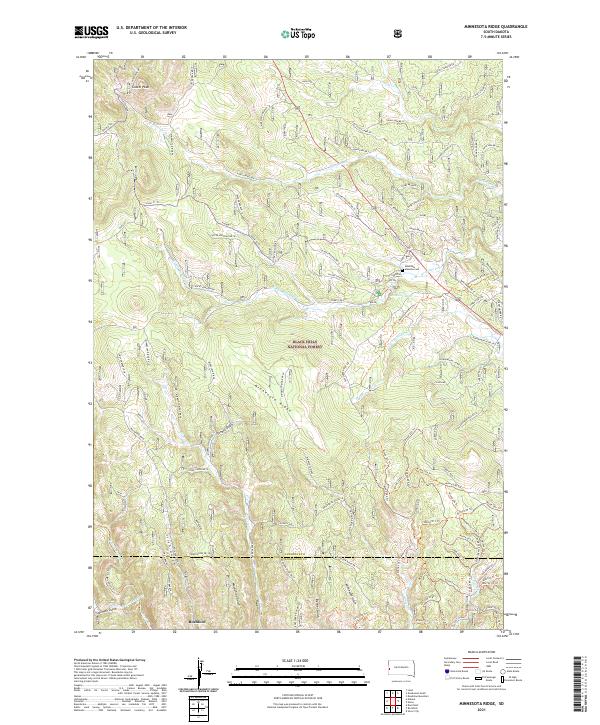
2021 Map of Minnesota Ridge
USGS Topo · Published 2021About this map
Minnesota Ridge forms a high spine through this portion of the Black Hills National Forest, where the complex drainage systems of Boxelder Creek and Silver Creek have carved a landscape defined by numerous named gulches. To the south, the settlement of Rochford sits along the Fork Rapid Creek, a historically significant area for mining and early Black Hills exploration. The map detail highlights an extensive network of forestry and access roads, such as Paha Sapa Br 1E and the Benchmark 8575 Trail, which illustrate the modern management of these timberlands.
Find a feature on this map
114 named features on this map. Tap any name to fly to it.
Don’t see what you’re looking for? This feature index may not catch every label — zoom into the map to look around manually.
Map Details
Editions of this 2021 Minnesota Ridge Map
This is the sole edition of this map. No revisions or reprints were ever made.
Other maps of this area

1894 · Deadwood
USGS Topo · 1:125,000

1899 · Sturgis
USGS Topo · 1:62,500

1900 · Spearfish
USGS Topo · 1:62,500

1901 · Deadwood
USGS Topo · 1:125,000

1915 · Spearfish
USGS Topo · 1:62,500

1915 · Sturgis
USGS Topo · 1:62,500

1916 · Deadwood
USGS Topo · 1:125,000

1953 · Nemo
USGS Topo · 1:24,000

1953 · Rapid City
USGS Topo · 1:250,000

1954 · Silver City
USGS Topo · 1:24,000