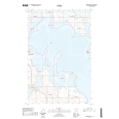
2020 Map of Minnewaukan East
USGS Topo · Published 2020About this map
Minnewaukan serves as the focal point of this Benson County landscape, situated on the western edge of the expansive West Bay waters. The town's civic heart is marked by the Benson County Court House, a significant landmark for local history and genealogy. The topography is dominated by the intricate shoreline of Devils Lake, which creates a complex pattern of peninsulas and inlets, including the prominent Grahams Island to the east. The map captures the interaction between water levels and land, showing how transportation routes like US Hwy 281 and the decommissioned Old Hwy 281 navigate the low-lying terrain. Away from the lakefront, the landscape transitions to prairie interspersed with smaller water bodies such as Long Lake and Pelican Lake, with isolated high points like Sams Hill providing subtle relief to the North Dakota plains.
Find a feature on this map
21 named features on this map. Tap any name to fly to it.
Don’t see what you’re looking for? This feature index may not catch every label — zoom into the map to look around manually.
Map Details
Editions of this 2020 Minnewaukan East Map
This is the sole edition of this map. No revisions or reprints were ever made.
Other maps of this area

1931 · Oberon
USGS Topo · 1:62,500

1932 · Flora
USGS Topo · 1:62,500

1932 · Grahams Island
USGS Topo · 1:62,500

1950 · Grahams Island
USGS Topo · 1:62,500

1950 · Oberon
USGS Topo · 1:62,500

1951 · Crow Hill
USGS Topo · 1:24,000

1951 · Oberon
USGS Topo · 1:24,000

1951 · Grahams Island
USGS Topo · 1:24,000

1951 · Tilden
USGS Topo · 1:24,000

1951 · Minnewaukan East
USGS Topo · 1:24,000