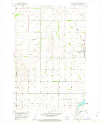
1958 Map of Minnewaukan West
USGS Topo · Published 1963About this map
Minnewaukan serves as the focal point for this Benson County prairie landscape, situated near the western reaches of Devils Lake at a time of significant hydrological change. The map captures the town's position along the Northern Pacific railroad, which provided a vital connection for the surrounding agricultural townships of McClellan, Riggin, Eldon, West Bay, Aurora, and Oberon.
Find a feature on this map
18 named features on this map. Tap any name to fly to it.
Don’t see what you’re looking for? This feature index may not catch every label — zoom into the map to look around manually.
Map Details
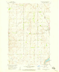
Editions of this 1958 Minnewaukan West Map
2 editions found
Other maps of this area

1931 · Oberon
USGS Topo · 1:62,500

1932 · Flora
USGS Topo · 1:62,500

1932 · Grahams Island
USGS Topo · 1:62,500

1950 · Grahams Island
USGS Topo · 1:62,500

1950 · Oberon
USGS Topo · 1:62,500

1951 · Oberon
USGS Topo · 1:24,000

1951 · Tilden
USGS Topo · 1:24,000

1951 · Minnewaukan East
USGS Topo · 1:24,000

1951 · Flora
USGS Topo · 1:24,000

1951 · Josephine
USGS Topo · 1:24,000