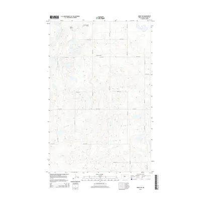
2014 Map of Minot SW
USGS Topo · Published 2014About this map
Twin Buttes rises as a prominent landmark in this prairie landscape of Ward County, where the terrain is marked by the drainage patterns of Second Larson Coulee and Kemp Coulee. The map reveals a strict township-and-range grid system, with roads such as 121st Ave SW and 86th St SW defining the agricultural boundaries. This 2014 survey by the U.S. Geological Survey captures a snapshot of rural North Dakota, characterized by numerous small prairie potholes and depressions scattered across the landscape. The layout of section lines and gravel roads indicates a region dedicated primarily to large-scale farming and ranching, where physical geography like the coulees dictates the placement of local infrastructure and land use.
Find a feature on this map
17 named features on this map. Tap any name to fly to it.
Don’t see what you’re looking for? This feature index may not catch every label — zoom into the map to look around manually.
Map Details
Editions of this 2014 Minot SW Map
This is the sole edition of this map. No revisions or reprints were ever made.
Other maps of this area

1928 · Minot
USGS Topo · 1:62,500

1948 · Minot NW
USGS Topo · 1:24,000

1949 · Minot NW
USGS Topo · 1:24,000

1949 · Minot
USGS Topo · 1:24,000

1954 · Minot
USGS Topo · 1:250,000

1954 · McClusky
USGS Topo · 1:250,000

1958 · McClusky
USGS Topo · 1:250,000

1958 · Minot
USGS Topo · 1:250,000
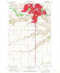
1966 · Minot
USGS Topo · 1:24,000

1980 · Minot
USGS Topo · 1:100,000