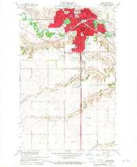
1966 Map of Minot
USGS Topo · Published 1968About this map
The Souris River carves a winding path through the heart of Minot, anchoring a landscape defined by rapid mid-century civic expansion and established rail corridors. This 1966 revision shows the city’s dense core and institutional footprint, including the Minot State College campus and medical facilities like Trinity Hospital and St Josephs Hospital. The transportation network is dominated by the Great Northern and Soo Line railroads, which parallel the river valley and shaped the early industrial growth of the region.
Find a feature on this map
48 named features on this map. Tap any name to fly to it.
Don’t see what you’re looking for? This feature index may not catch every label — zoom into the map to look around manually.
Map Details
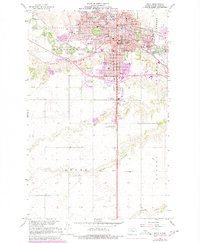
Editions of this 1966 Minot Map
2 editions found
Other maps of this area

1928 · Minot
USGS Topo · 1:62,500

1929 · Sawyer
USGS Topo · 1:62,500

1948 · Burlington
USGS Topo · 1:24,000

1948 · Burlington
USGS Topo · 1:62,500

1948 · Minot NW
USGS Topo · 1:24,000

1948 · Surrey
USGS Topo · 1:24,000

1949 · Minot NW
USGS Topo · 1:24,000

1949 · Deering SW
USGS Topo · 1:24,000

1949 · Burlington SE
USGS Topo · 1:24,000

1949 · Surrey
USGS Topo · 1:24,000