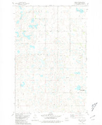
1980 Map of Minot SW
USGS Topo · Published 1981About this map
Glacial prairie potholes and numerous small wetlands dominate this landscape southwest of Minot, showing the rural character of Ward County in the late 1970s. The terrain is defined by the transition from the high points of Twin Buttes in the north to the shores of Rice Lake in the southwest corner. The map documents a sparsely populated agricultural region organized into civil townships including Burt, Torning, and Freedom, each marked by a network of section-line roads and scattered farmsteads.
Find a feature on this map
12 named features on this map. Tap any name to fly to it.
Don’t see what you’re looking for? This feature index may not catch every label — zoom into the map to look around manually.
Map Details
Editions of this 1980 Minot SW Map
This is the sole edition of this map. No revisions or reprints were ever made.
Other maps of this area

1928 · Minot
USGS Topo · 1:62,500

1948 · Minot NW
USGS Topo · 1:24,000

1949 · Minot NW
USGS Topo · 1:24,000

1949 · Minot
USGS Topo · 1:24,000

1954 · Minot
USGS Topo · 1:250,000

1954 · McClusky
USGS Topo · 1:250,000

1958 · McClusky
USGS Topo · 1:250,000

1958 · Minot
USGS Topo · 1:250,000
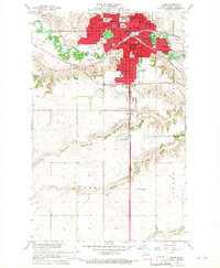
1966 · Minot
USGS Topo · 1:24,000

1980 · Minot
USGS Topo · 1:100,000