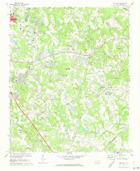
1971 Map of Mint Hill
USGS Topo · Published 1973About this map
Mint Hill and the eastern fringes of Charlotte reveal a landscape in transition, where established rural communities are meeting suburban growth. The area is anchored by historic religious and educational centers, such as Philadelphia Ch and the Bain Sch, alongside several smaller settlements like Wilgrove and Stevens. Transportation patterns are defined by the Norfolk Southern line and the diagonal corridor of Albemarle Rd, which cuts through the heart of the quadrangle.
Find a feature on this map
62 named features on this map. Tap any name to fly to it.
Don’t see what you’re looking for? This feature index may not catch every label — zoom into the map to look around manually.
Map Details
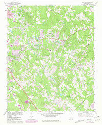
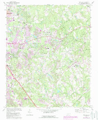
Editions of this 1971 Mint Hill Map
Other maps of this area

1905 · Charlotte
USGS Topo · 1:48,000

1907 · Charlotte
USGS Topo · 1:62,500

1941 · Charlotte
USGS Topo · 1:125,000

1942 · Charlotte
USGS Topo · 1:125,000

1948 · Derita
USGS Topo · 1:24,000

1948 · Charlotte East
USGS Topo · 1:24,000

1949 · Charlotte East
USGS Topo · 1:24,000

1949 · Harrisburg
USGS Topo · 1:24,000

1949 · Wilgrove
USGS Topo · 1:24,000

1949 · Midland
USGS Topo · 1:24,000