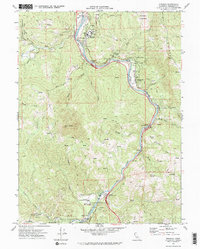
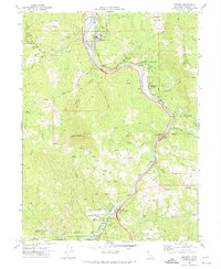
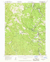
1970 Map of Miranda
USGS Topo · Published 1974About this map
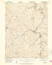
Humboldt Redwoods State Park dominates this survey of the South Fork Eel River corridor during the early 1970s. The landscape is defined by the winding path of the river and the Avenue of the Giants, which serves as the primary artery for the communities of Miranda and Phillipsville. This era captures the region as a hub for both conservation and community, featuring established landmarks like the Eel River Conservation Center and the YMCA Camp near Redway.
Find a feature on this map
40 named features on this map. Tap any name to fly to it.
Don’t see what you’re looking for? This feature index may not catch every label — zoom into the map to look around manually.
Map Details
Editions of this 1970 Miranda Map
2 editions found
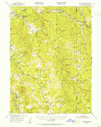
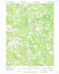
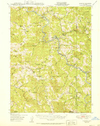
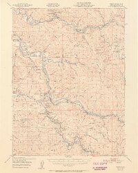
Other maps of this area

1920 · Harris
USGS Topo · 1:62,500

1921 · Dyerville
USGS Topo · 1:62,500

1921 · Briceland
USGS Topo · 1:62,500
1949 · Blocksburg
USGS Topo · 1:62,500
1949 · Alderpoint
USGS Topo · 1:62,500
1949 · Garberville
USGS Topo · 1:62,500
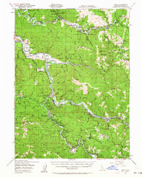
1949 · Weott
USGS Topo · 1:62,500
1951 · Alderpoint
USGS Topo · 1:62,500
1951 · Weott
USGS Topo · 1:62,500
1951 · Garberville
USGS Topo · 1:62,500