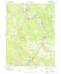
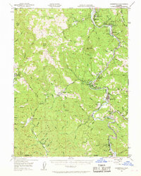
1970 Map of Miranda
USGS Topo · Published 1974About this map
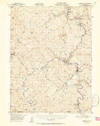
The South Fork Eel River carves a narrow corridor for development and travel through this part of the Redwood Empire. By the early 1970s, the famous Avenue of the Giants and the modern 101 highway parallel the river, connecting riverside communities like Miranda and Phillipsville. The map illustrates the specialized infrastructure required for this terrain, from the Barnum Memorial Bridge to the Hurlbutt Memorial Bridge, alongside institutional sites like the Sch of the Redwoods and the Jr High Sch. Extensive forest management and conservation are evident throughout Humboldt Redwoods State Park, which encompasses diverse groves such as Stephens Grove and Holbrook Grove. While the river flats support small settlements and a YMCA Camp, the surrounding heights like Bear Buttes remain largely defined by fire trails and creeks including Salmon Creek and Hooker Creek.
Find a feature on this map
38 named features on this map. Tap any name to fly to it.
Don’t see what you’re looking for? This feature index may not catch every label — zoom into the map to look around manually.
Map Details
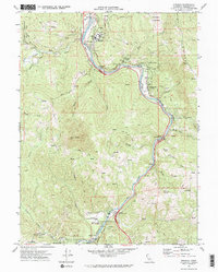
Editions of this 1970 Miranda Map
2 editions found
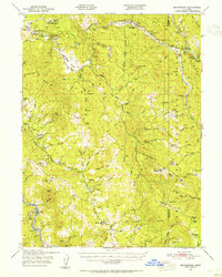
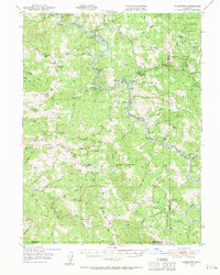
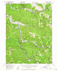
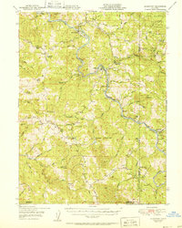
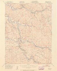
Other maps of this area

1920 · Harris
USGS Topo · 1:62,500

1921 · Dyerville
USGS Topo · 1:62,500

1921 · Briceland
USGS Topo · 1:62,500
1949 · Blocksburg
USGS Topo · 1:62,500
1949 · Alderpoint
USGS Topo · 1:62,500
1949 · Garberville
USGS Topo · 1:62,500
1949 · Weott
USGS Topo · 1:62,500
1951 · Alderpoint
USGS Topo · 1:62,500
1951 · Weott
USGS Topo · 1:62,500
1951 · Garberville
USGS Topo · 1:62,500