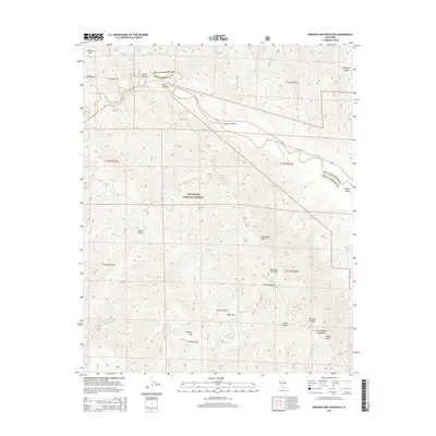
2015 Map of Miranda Pine Mountain
USGS Topo · Published 2015About this map
Los Padres National Forest dominates this landscape along the border of San Luis Obispo and Santa Barbara counties. The Cuyama River winds through the northern portion of the quadrangle, carving the Cuyama Valley beneath high ridgelines like Sycamore Ridge and Twin Rocks. The southern reaches are defined by the high elevations of the Sierra Madre Mountains, where prominent summits such as Miranda Pine Mtn and Timber Peak overlook a complex network of drainages. The distribution of named springs, including Miranda Pine Spring and Plowshare Spring, highlights the critical nature of water sources in this high-elevation terrain. This 2015 update captures the land as a significant corridor of protected wilderness and rugged topography, where features like Pine Flat and Porter Peak provide distinct landmarks for navigation and local history.
Find a feature on this map
35 named features on this map. Tap any name to fly to it.
Don’t see what you’re looking for? This feature index may not catch every label — zoom into the map to look around manually.
Map Details
Editions of this 2015 Miranda Pine Mountain Map
This is the sole edition of this map. No revisions or reprints were ever made.
Other maps of this area

1902 · Santa Ynez
USGS Topo · 1:125,000

1905 · Santa Ynez
USGS Topo · 1:125,000

1905 · Lompoc
USGS Topo · 1:125,000

1912 · McKittrick
USGS Topo · 1:125,000

1937 · Branch Mtn
USGS Topo · 1:48,000

1941 · Caliente Mountain
USGS Topo · 1:62,500

1941 · McPherson Peak
USGS Topo · 1:62,500

1942 · Lompoc
USGS Topo · 1:125,000

1942 · Branch Mountain
USGS Topo · 1:62,500

1942 · Caliente Mtn
USGS Topo · 1:62,500