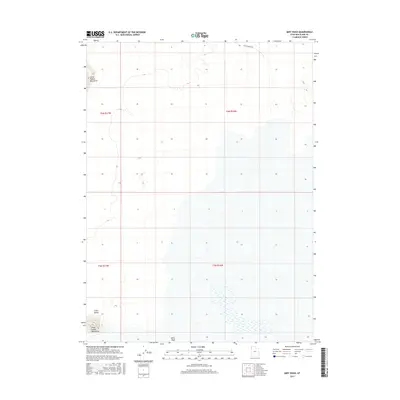
2017 Map of Miry Wash
USGS Topo · Published 2017About this map
Miry Wash flows through a landscape defined by isolated landforms and expansive basins in this western Utah desert corridor. The topography is dominated by the northern reaches of the Silver Island Mountains and the distinct profile of the Little Pigeon Mountains, which stand as significant landmarks for those navigating the region. A lone transport artery, Little Pigeon Rd, skirts the northern edge of the terrain, providing access to these remote reaches. The survey also identifies Crater Island, a prominent land feature rising from the surrounding flats. This map documents the persistent geography of the Great Salt Lake Desert basin, where ancient geological formations like the Little Pigeon Mountains dictate the few viable routes across the arid salt and mud flats.
Find a feature on this map
9 named features on this map. Tap any name to fly to it.
Don’t see what you’re looking for? This feature index may not catch every label — zoom into the map to look around manually.
Map Details
Editions of this 2017 Miry Wash Map
This is the sole edition of this map. No revisions or reprints were ever made.
Other maps of this area

1954 · Brigham City
USGS Topo · 1:250,000

1958 · Brigham City
USGS Topo · 1:250,000

1962 · Brigham City
USGS Topo · 1:250,000

1967 · Pigeon Mountain
USGS Topo · 1:24,000

1967 · Lemay Island
USGS Topo · 1:24,000

1970 · Crater Island
USGS Topo · 1:24,000

1983 · Jackson
USGS Topo · 1:24,000
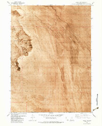
1983 · Lucin 4 SW
USGS Topo · 1:24,000

1983 · Bovine SE
USGS Topo · 1:24,000

1983 · Lucin 4 NE
USGS Topo · 1:24,000