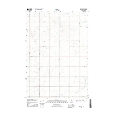
2015 Map of Miscol SW
USGS Topo · Published 2015About this map
The rolling plains of Corson County are defined by a strict section-line road grid and the meandering drainage of Plum Cr and High Bank Cr. This landscape, part of the Rock Creek District, reflects the systematic organization of the Public Land Survey System, with townships like t19n r24e and t18n r24e clearly delineated. Local travel is facilitated by a network of numbered avenues and streets, such as 243rd Ave and 123rd St, which intersect at precise one-mile intervals across the prairie. The presence of BIA Rd 4 signifies the area's ongoing connection to tribal administration and regional infrastructure. This map reveals a largely agricultural and pastoral setting where the natural watercourses provide the only interruption to the geometric human imprint on the land.
Find a feature on this map
19 named features on this map. Tap any name to fly to it.
Don’t see what you’re looking for? This feature index may not catch every label — zoom into the map to look around manually.
Map Details
Editions of this 2015 Miscol SW Map
This is the sole edition of this map. No revisions or reprints were ever made.
Other maps of this area

1953 · McIntosh
USGS Topo · 1:250,000

1956 · Miscol SW
USGS Topo · 1:24,000

1956 · Black Horse NE
USGS Topo · 1:24,000

1956 · Black Horse SE
USGS Topo · 1:24,000

1956 · Miscol SE
USGS Topo · 1:24,000

1956 · Miscol
USGS Topo · 1:24,000

1956 · Miscol NE
USGS Topo · 1:24,000

1958 · McIntosh
USGS Topo · 1:250,000

1978 · Brewer Butte
USGS Topo · 1:24,000

1978 · Timber Lake
USGS Topo · 1:24,000