
2015 Map of Misheguk Mountain A-4 NE
USGS Topo · Published 2015About this map
The Noatak National Preserve defines this Arctic landscape, where high-altitude tundra meets the headwaters of vital northern drainage systems. This 2015 survey documents the remote boundary where the Northwest Arctic Borough meets the North Slope Borough. The map is characterized by its complex hydrology, dominated by the winding paths of Analak Cr and Okotak Cr as they cut through the high-elevation terrain. This area remains largely untouched by modern infrastructure, preserving the natural drainage patterns and topographical relief essential for understanding the environmental geography of northern Alaska. The lack of settlements or roads underscores the region's status as a protected wilderness, making it a critical reference for researchers studying the unaltered subarctic ecosystem.
Find a feature on this map
10 named features on this map. Tap any name to fly to it.
Don’t see what you’re looking for? This feature index may not catch every label — zoom into the map to look around manually.
Map Details
Editions of this 2015 Misheguk Mountain A-4 NE Map
This is the sole edition of this map. No revisions or reprints were ever made.
Other maps of this area

1951 · Misheguk Mountain
USGS Topo · 1:250,000

1955 · Misheguk Mountain A-3
USGS Topo · 1:63,360
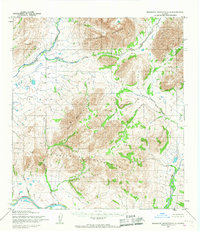
1955 · Misheguk Mountain A-4
USGS Topo · 1:63,360

1956 · Misheguk Mountain
USGS Topo · 1:250,000
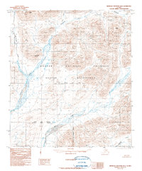
1990 · Misheguk Mountain B-4
USGS Topo · 1:63,360
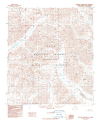
1990 · Misheguk Mountain B-3
USGS Topo · 1:63,360
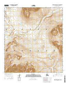
2015 · Misheguk Mountain A-3 SW
USGS Topo · 1:25,000
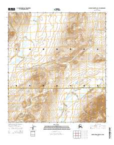
2015 · Misheguk Mountain B-4 SW
USGS Topo · 1:25,000
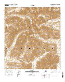
2015 · Misheguk Mountain B-3 SW
USGS Topo · 1:25,000
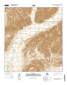
2015 · Misheguk Mountain A-3 NW
USGS Topo · 1:25,000