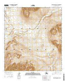
2015 Map of Misheguk Mountain A-3 SW
USGS Topo · Published 2015About this map
Noatak National Preserve encompasses the majority of this landscape in the western Arctic, where high-latitude drainage systems define the movement of water across the tundra. The Kaluktavik River and Analak Cr flow through the northwest, while the winding Imikneyak Cr dominates the central and eastern sections, carving paths through the varied elevations. In the south, the Isacheluk Mountains rise sharply, providing a significant geological boundary that influences the local watershed. This 2015 survey documents a region defined by its lack of permanent settlements or infrastructure, illustrating the pristine and untouched character of the Alaskan wilderness. The map captures a moment in the modern management of these federal lands, detailing the topographical contours and remote hydrological features that remain critical for scientific study and backcountry navigation in this part of the Brooks Range foothills.
Find a feature on this map
11 named features on this map. Tap any name to fly to it.
Don’t see what you’re looking for? This feature index may not catch every label — zoom into the map to look around manually.
Map Details
Editions of this 2015 Misheguk Mountain A-3 SW Map
This is the sole edition of this map. No revisions or reprints were ever made.
Other maps of this area

1951 · Baird Mountains
USGS Topo · 1:250,000

1951 · Misheguk Mountain
USGS Topo · 1:250,000

1955 · Baird Mountains D-4
USGS Topo · 1:63,360

1955 · Baird Mountains D-3
USGS Topo · 1:63,360

1955 · Misheguk Mountain A-3
USGS Topo · 1:63,360
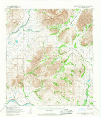
1955 · Misheguk Mountain A-4
USGS Topo · 1:63,360

1956 · Misheguk Mountain
USGS Topo · 1:250,000

1956 · Baird Mountains
USGS Topo · 1:250,000

1965 · Baird Mountains
USGS Topo · 1:250,000
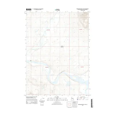
2014 · Baird Mountains D-4 NW
USGS Topo · 1:25,000