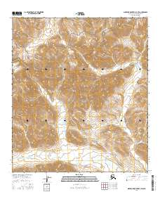
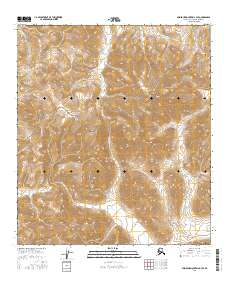
2016 Map of Misheguk Mountain C-2 SW
USGS Topo · Published 2016About this map
The Noatak National Preserve encompasses much of this interior Alaskan landscape, characterized by the high elevations of the De Long Mountains in the northern portion of the quadrangle. The hydrology of the region is defined by distinct watersheds, including the westward-flowing Wulik River and the Nimiuktuk River which cuts across the southern township lines. These waterways serve as the primary geographical markers in a territory devoid of permanent settlements or road infrastructure. High-altitude contouring shows the complex drainages of Ignisirok Cr as it winds through the eastern valleys. This 2016 survey provides a precise modern look at a remote wilderness area where the topographic relief of the Brooks Range meets the protected ecosystem of the Noatak river basin.
Find a feature on this map
11 named features on this map. Tap any name to fly to it.
Don’t see what you’re looking for? This feature index may not catch every label — zoom into the map to look around manually.
Map Details
Editions of this 2016 Misheguk Mountain C-2 SW Map
This is the sole edition of this map. No revisions or reprints were ever made.
Other maps of this area

1951 · Misheguk Mountain
USGS Topo · 1:250,000

1956 · Misheguk Mountain
USGS Topo · 1:250,000
1984 · Misheguk Mountain C-2
USGS Topo · 1:63,360
1984 · Misheguk Mountain C-3
USGS Topo · 1:63,360
1990 · Misheguk Mountain B-2
USGS Topo · 1:63,360
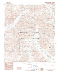
1990 · Misheguk Mountain B-3
USGS Topo · 1:63,360
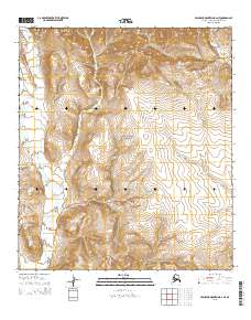
2015 · Misheguk Mountain B-2 NE
USGS Topo · 1:25,000
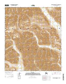
2015 · Misheguk Mountain B-3 NE
USGS Topo · 1:25,000
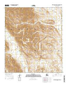
2015 · Misheguk Mountain B-2 NW
USGS Topo · 1:25,000
2016 · Misheguk Mountain C-3 SE
USGS Topo · 1:25,000