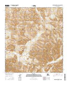
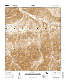
2016 Map of Misheguk Mountain C-3 SW
USGS Topo · Published 2016About this map
The De Long Mountains dominate this high-latitude landscape within the Noatak National Preserve. The terrain is defined by a series of high-elevation drainages including Kogruk Cr, which winds through the central and western sections, and the headwaters of Nucleus Cr emerging from the slopes of Nucleus Mtn. Other alpine watercourses such as Elbow Cr, Kidney Cr, and Trail Cr carve through the steep contour gradients, illustrating the complex watershed patterns typical of the Arctic Brooks Range. This 2016 survey documents a remote wilderness environment where no permanent roads or settlements are present, reflecting the preserved and roadless character of northern Alaska’s mountain interior. The map provides a precise record of natural topography and public land survey boundaries across townships like T10S R37W, serving as a critical reference for understanding the physical geography of the North Slope.
Find a feature on this map
14 named features on this map. Tap any name to fly to it.
Don’t see what you’re looking for? This feature index may not catch every label — zoom into the map to look around manually.
Map Details
Editions of this 2016 Misheguk Mountain C-3 SW Map
This is the sole edition of this map. No revisions or reprints were ever made.
Other maps of this area

1951 · Misheguk Mountain
USGS Topo · 1:250,000

1956 · Misheguk Mountain
USGS Topo · 1:250,000
1984 · Misheguk Mountain C-3
USGS Topo · 1:63,360
1984 · Misheguk Mountain C-4
USGS Topo · 1:63,360
1990 · Misheguk Mountain B-4
USGS Topo · 1:63,360
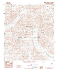
1990 · Misheguk Mountain B-3
USGS Topo · 1:63,360
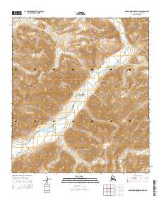
2015 · Misheguk Mountain B-3 NW
USGS Topo · 1:25,000
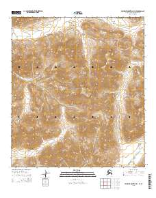
2015 · Misheguk Mountain B-4 NE
USGS Topo · 1:25,000
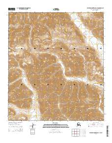
2015 · Misheguk Mountain B-3 NE
USGS Topo · 1:25,000
2016 · Misheguk Mountain C-3 NW
USGS Topo · 1:25,000