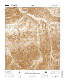
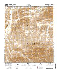
2016 Map of Misheguk Mountain C-3 NW
USGS Topo · Published 2016About this map
Driftwood Creek flows through the northern reaches of this remote Arctic landscape, which is defined by its dramatic drainage networks and undulating relief. The terrain is structured by several distinct watercourses, including the southward-reaching Elbow Cr and the centrally located Nucleus Cr. Towards the eastern edge of the survey, Kidney Cr carves its path through the high-elevation contours. This 2016 study, produced by the U.S. Geological Survey, maps a pristine wilderness within the North Slope Borough where the physical geography remains largely untouched by human infrastructure. The absence of roads or settlements highlights the isolation of this region, where the primary markers of location are the intersections of the Public Land Survey System boundaries, such as those within t8s r37w and t9s r37w.
Find a feature on this map
8 named features on this map. Tap any name to fly to it.
Don’t see what you’re looking for? This feature index may not catch every label — zoom into the map to look around manually.
Map Details
Editions of this 2016 Misheguk Mountain C-3 NW Map
This is the sole edition of this map. No revisions or reprints were ever made.
Other maps of this area

1951 · Misheguk Mountain
USGS Topo · 1:250,000

1956 · Misheguk Mountain
USGS Topo · 1:250,000
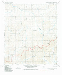
1984 · Misheguk Mountain C-3
USGS Topo · 1:63,360
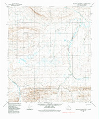
1984 · Misheguk Mountain D-3
USGS Topo · 1:63,360
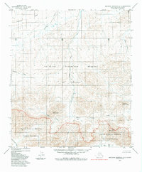
1984 · Misheguk Mountain C-4
USGS Topo · 1:63,360
1984 · Misheguk Mountain D-4
USGS Topo · 1:63,360
2016 · Misheguk Mountain C-3 SW
USGS Topo · 1:25,000
2016 · Misheguk Mountain D-4 SE
USGS Topo · 1:25,000
2016 · Misheguk Mountain C-3 SE
USGS Topo · 1:25,000
2016 · Misheguk Mountain C-4 NE
USGS Topo · 1:25,000