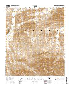
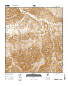
2016 Map of Misheguk Mountain C-4 NE
USGS Topo · Published 2016About this map
Utukok River flows through this remote section of the North Slope, appearing as a meandering waterway that defines the drainage patterns of the Misheguk Mountain foothills. In the northeastern corner, Elbow Cr winds through the high terrain, marking a distinct watershed boundary within the Arctic landscape. The survey captures the transition between Township 8 South and Township 9 South, illustrating the vast, unpopulated character of this wilderness area. The land is defined by complex contour elevations rather than human structures, showing a pristine environment where topography remains the primary feature. Researchers interested in Arctic geography can trace the headwaters and drainages of these specific waterways within the expansive North Slope Borough.
Find a feature on this map
7 named features on this map. Tap any name to fly to it.
Don’t see what you’re looking for? This feature index may not catch every label — zoom into the map to look around manually.
Map Details
Editions of this 2016 Misheguk Mountain C-4 NE Map
This is the sole edition of this map. No revisions or reprints were ever made.
Other maps of this area

1951 · Misheguk Mountain
USGS Topo · 1:250,000

1956 · Misheguk Mountain
USGS Topo · 1:250,000
1984 · Misheguk Mountain C-3
USGS Topo · 1:63,360
1984 · Misheguk Mountain D-3
USGS Topo · 1:63,360
1984 · Misheguk Mountain C-4
USGS Topo · 1:63,360
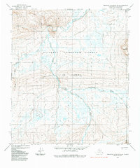
1984 · Misheguk Mountain D-4
USGS Topo · 1:63,360
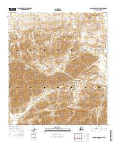
2015 · Misheguk Mountain C-4 SW
USGS Topo · 1:25,000
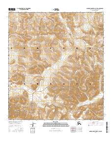
2016 · Misheguk Mountain C-3 SW
USGS Topo · 1:25,000
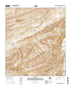
2016 · Misheguk Mountain C-4 NW
USGS Topo · 1:25,000
2016 · Misheguk Mountain C-3 NW
USGS Topo · 1:25,000