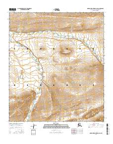
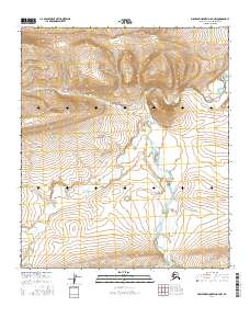
2016 Map of Misheguk Mountain D-4 SE
USGS Topo · Published 2016About this map
Utukok River and Driftwood Creek dictate the contours of this remote Arctic landscape within the North Slope Borough. This 2016 survey highlights the intricate drainage patterns of the northern foothills, where wide river valleys give way to the more defined relief of the De Long Mountains. The topographic detail reveals the braiding of these watercourses as they move through various townships, including t7s r38w and t8s r38w. The lack of human infrastructure or named settlements emphasizes the purely geological and hydrological character of this region, providing a baseline for researchers studying the natural evolution of the Alaskan interior and the vast drainage basins that feed toward the Arctic coast.
Find a feature on this map
10 named features on this map. Tap any name to fly to it.
Don’t see what you’re looking for? This feature index may not catch every label — zoom into the map to look around manually.
Map Details
Editions of this 2016 Misheguk Mountain D-4 SE Map
This is the sole edition of this map. No revisions or reprints were ever made.
Other maps of this area

1951 · Misheguk Mountain
USGS Topo · 1:250,000

1956 · Misheguk Mountain
USGS Topo · 1:250,000
1984 · Misheguk Mountain C-3
USGS Topo · 1:63,360
1984 · Misheguk Mountain D-3
USGS Topo · 1:63,360
1984 · Misheguk Mountain C-4
USGS Topo · 1:63,360
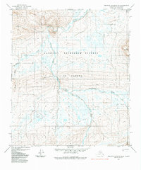
1984 · Misheguk Mountain D-4
USGS Topo · 1:63,360
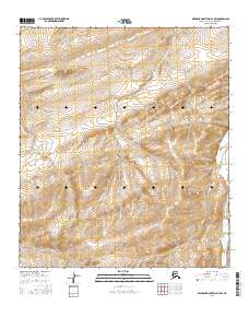
2016 · Misheguk Mountain C-4 NW
USGS Topo · 1:25,000
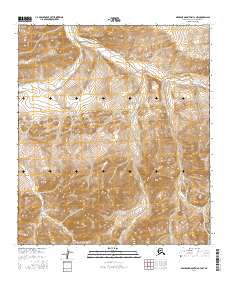
2016 · Misheguk Mountain C-3 NW
USGS Topo · 1:25,000
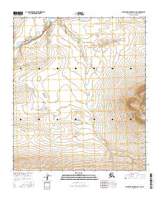
2016 · Misheguk Mountain D-4 NE
USGS Topo · 1:25,000
2016 · Misheguk Mountain D-4 NW
USGS Topo · 1:25,000