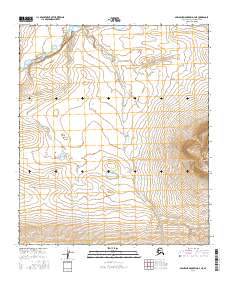
2016 Map of Misheguk Mountain D-4 NE
USGS Topo · Published 2016About this map
Utukok River winds through the northern reaches of this remote Arctic landscape, providing a primary drainage for the surrounding tundra and hills. The terrain is defined by dramatic elevation changes, culminating in the prominent peak of Meat Mtn in the southeast. This 2016 survey highlights the intricate network of seasonal waterways, including Seismo Creek, which flows through the central and southern portions of the quadrangle. The map documents the vast, undeveloped character of the North Slope at the start of the 21st century, where the land remains largely untouched by permanent settlements or industrial infrastructure. Researchers and environmental historians can trace the natural water paths and topography that have shaped this sub-arctic environment for generations.
Find a feature on this map
10 named features on this map. Tap any name to fly to it.
Don’t see what you’re looking for? This feature index may not catch every label — zoom into the map to look around manually.
Map Details
Editions of this 2016 Misheguk Mountain D-4 NE Map
This is the sole edition of this map. No revisions or reprints were ever made.
Other maps of this area

1951 · Utukok River
USGS Topo · 1:250,000

1951 · Misheguk Mountain
USGS Topo · 1:250,000
1955 · Utukok River A-4
USGS Topo · 1:63,360
1955 · Utukok River A-3
USGS Topo · 1:63,360

1956 · Misheguk Mountain
USGS Topo · 1:250,000

1956 · Utukok River
USGS Topo · 1:250,000

1965 · Utukok River
USGS Topo · 1:250,000
1984 · Misheguk Mountain D-3
USGS Topo · 1:63,360
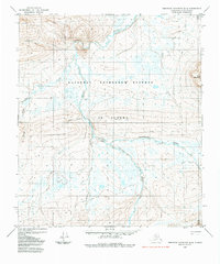
1984 · Misheguk Mountain D-4
USGS Topo · 1:63,360
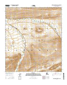
2016 · Misheguk Mountain D-4 SE
USGS Topo · 1:25,000