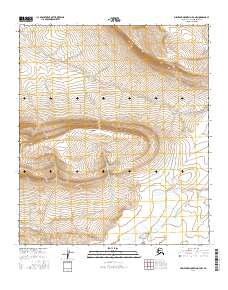
2016 Map of Misheguk Mountain D-3 NW
USGS Topo · Published 2016About this map
Meat Mtn dominates this portion of the North Slope borough, defining a landscape shaped by high elevation contours and the drainage patterns of the Seismo Cr basin. This topographic study, produced by the U.S. Geological Survey, meticulously details the township and range boundaries including t5s r37w, t5s r36w, and t6s r37w. The map reveals a remote geography where the steep slopes of the central massif give way to the winding path of Seismo Cr in the south and west. This 2016 record provides a clear view of the Public Land Survey System grid as it interfaces with the natural hydrology of the Brooks Range foothills, offering a precise digital-era baseline for examining the physical geography of this Arctic region.
Find a feature on this map
6 named features on this map. Tap any name to fly to it.
Don’t see what you’re looking for? This feature index may not catch every label — zoom into the map to look around manually.
Map Details
Editions of this 2016 Misheguk Mountain D-3 NW Map
This is the sole edition of this map. No revisions or reprints were ever made.
Other maps of this area

1951 · Utukok River
USGS Topo · 1:250,000

1951 · Misheguk Mountain
USGS Topo · 1:250,000
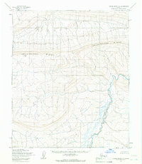
1955 · Utukok River A-4
USGS Topo · 1:63,360
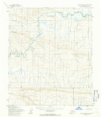
1955 · Utukok River A-3
USGS Topo · 1:63,360

1956 · Misheguk Mountain
USGS Topo · 1:250,000

1956 · Utukok River
USGS Topo · 1:250,000

1965 · Utukok River
USGS Topo · 1:250,000
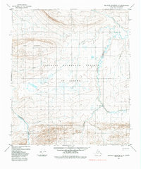
1984 · Misheguk Mountain D-3
USGS Topo · 1:63,360
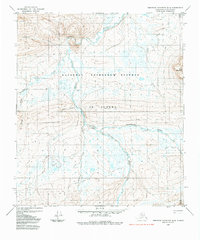
1984 · Misheguk Mountain D-4
USGS Topo · 1:63,360
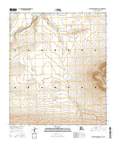
2016 · Misheguk Mountain D-4 NE
USGS Topo · 1:25,000