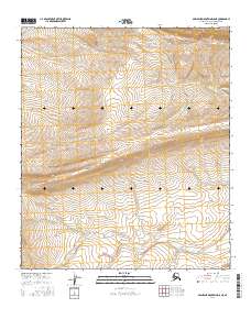
2016 Map of Misheguk Mountain D-5 NE
USGS Topo · Published 2016About this map
Nimiuktuk Cr and Tupikchak Cr serve as the primary geographical markers in this remote section of the North Slope. The terrain is defined by the high-elevation slopes of the Misheguk Mountain area, where these watercourses carve through the landscape within the township boundaries of t5s r41w, t5s r40w, t6s r41w, and t6s r40w. The contour patterns reveal a complex network of ridgelines and drainages typical of the northern Brooks Range foothills. This 2016 survey emphasizes the natural hydrography of the region, documenting the flow of small tributaries that eventually contribute to the larger Arctic drainage systems. The absence of roads or permanent structures underscores the wilderness character of the area, making the map a vital tool for understanding the untouched physical geography of the Alaska interior.
Find a feature on this map
6 named features on this map. Tap any name to fly to it.
Don’t see what you’re looking for? This feature index may not catch every label — zoom into the map to look around manually.
Map Details
Editions of this 2016 Misheguk Mountain D-5 NE Map
This is the sole edition of this map. No revisions or reprints were ever made.
Other maps of this area

1951 · Utukok River
USGS Topo · 1:250,000

1951 · Misheguk Mountain
USGS Topo · 1:250,000
1955 · Utukok River A-5
USGS Topo · 1:63,360
1955 · Utukok River A-4
USGS Topo · 1:63,360

1956 · Misheguk Mountain
USGS Topo · 1:250,000

1956 · Utukok River
USGS Topo · 1:250,000

1965 · Utukok River
USGS Topo · 1:250,000
1984 · Misheguk Mountain D-5
USGS Topo · 1:63,360
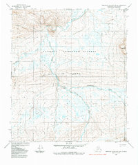
1984 · Misheguk Mountain D-4
USGS Topo · 1:63,360
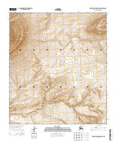
2015 · Misheguk Mountain D-5 SE
USGS Topo · 1:25,000