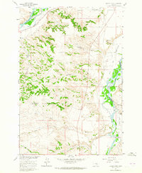
1960 Map of Mission Creek
USGS Topo · Published 1965About this map
The Yellowstone River and Bighorn River converge near the boundaries of Yellowstone and Big Horn Counties in this 1960 field study. The landscape is defined by the sophisticated irrigation infrastructure of the era, featuring the Waco Canal in the north and the Two Leggins Canal and Victory Ditch to the south. These waterways supported local agricultural efforts like the Steele Ranch and Wolfe Ranch on the fertile ground of Big Bottom and Mission Bottom.
Find a feature on this map
27 named features on this map. Tap any name to fly to it.
Don’t see what you’re looking for? This feature index may not catch every label — zoom into the map to look around manually.
Map Details
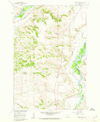
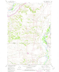
Editions of this 1960 Mission Creek Map
3 editions found
Other maps of this area

1894 · Fort Custer
USGS Topo · 1:125,000

1954 · Hardin
USGS Topo · 1:250,000

1954 · Forsyth
USGS Topo · 1:250,000

1957 · Hardin
USGS Topo · 1:250,000

1957 · Forsyth
USGS Topo · 1:250,000

1958 · Forsyth
USGS Topo · 1:250,000

1958 · Hardin
USGS Topo · 1:250,000

1960 · Bighorn
USGS Topo · 1:24,000

1960 · Foster
USGS Topo · 1:24,000

1960 · Coal Bank Creek
USGS Topo · 1:24,000