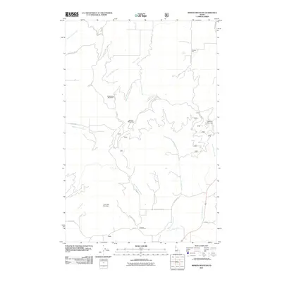
2011 Map of Mission Mountain
USGS Topo · Published 2011About this map
Mission Mountain and the surrounding Latah County peaks define this section of Idaho’s landscape, where complex creek systems drain toward the southwest. The small settlement of Cora marks the southern portion of the map, situated near the Mountain Home Grange. This area is characterized by a dense network of mountain roads and forest routes, including the prominent Skyline Dr, which winds along the high ridges.
Find a feature on this map
42 named features on this map. Tap any name to fly to it.
Don’t see what you’re looking for? This feature index may not catch every label — zoom into the map to look around manually.
Map Details
Editions of this 2011 Mission Mountain Map
This is the sole edition of this map. No revisions or reprints were ever made.
Other maps of this area

1903 · Oakesdale
USGS Topo · 1:125,000

1905 · Oakesdale
USGS Topo · 1:125,000

1910 · Pullman
USGS Topo · 1:125,000

1955 · Pullman
USGS Topo · 1:250,000

1955 · Spokane
USGS Topo · 1:250,000

1957 · Tensed
USGS Topo · 1:62,500

1958 · Spokane
USGS Topo · 1:250,000

1958 · Pullman
USGS Topo · 1:250,000

1960 · Potlatch
USGS Topo · 1:62,500

1964 · Tekoa
USGS Topo · 1:24,000