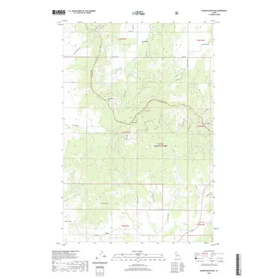
2020 Map of Mission Mountain
USGS Topo · Published 2020About this map
St. Joe National Forest encompasses the central highlands of this northern Idaho landscape, where the rugged topography is defined by the drainage divide between the Palouse and St. Maries watersheds. The small settlement of Cora anchors the southern reaches near the junction of Cora Rd and Yellow Dog Rd, while the northern section is characterized by the agricultural basin of King Valley.
Find a feature on this map
49 named features on this map. Tap any name to fly to it.
Don’t see what you’re looking for? This feature index may not catch every label — zoom into the map to look around manually.
Map Details
Editions of this 2020 Mission Mountain Map
This is the sole edition of this map. No revisions or reprints were ever made.
Other maps of this area

1903 · Oakesdale
USGS Topo · 1:125,000

1905 · Oakesdale
USGS Topo · 1:125,000

1910 · Pullman
USGS Topo · 1:125,000

1955 · Pullman
USGS Topo · 1:250,000

1955 · Spokane
USGS Topo · 1:250,000

1957 · Tensed
USGS Topo · 1:62,500

1958 · Spokane
USGS Topo · 1:250,000

1958 · Pullman
USGS Topo · 1:250,000

1960 · Potlatch
USGS Topo · 1:62,500

1964 · Tekoa
USGS Topo · 1:24,000