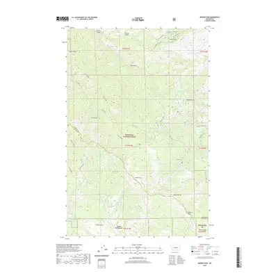
2020 Map of Mission Peak
USGS Topo · Published 2020About this map
Dutch Settlement lies in the southern reach of this survey, positioned near the headwaters of Pearson Cr and Naneum Cr. This high-elevation landscape is defined by the sharp divide between Chelan and Kittitas counties, where the Wenatchee National Forest spans a complex network of ridges and canyons. The terrain transitions from the high summits of Mission Peak and Wenatchee Mtn down into the deep drainages of Devils Gulch and King Canyon.
Find a feature on this map
48 named features on this map. Tap any name to fly to it.
Don’t see what you’re looking for? This feature index may not catch every label — zoom into the map to look around manually.
Map Details
Editions of this 2020 Mission Peak Map
This is the sole edition of this map. No revisions or reprints were ever made.
Other maps of this area
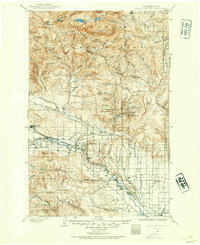
1897 · Mount Stuart
USGS Topo · 1:125,000
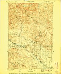
1902 · Mount Stuart
USGS Topo · 1:125,000
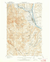
1913 · Wenatchee
USGS Topo · 1:62,500
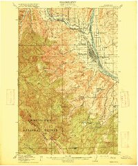
1915 · Wenatchee
USGS Topo · 1:62,500
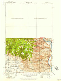
1920 · Colockum Pass
USGS Topo · 1:125,000
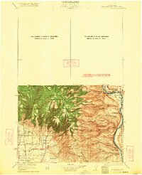
1922 · Colockum Pass
USGS Topo · 1:125,000
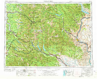
1957 · Wenatchee
USGS Topo · 1:250,000
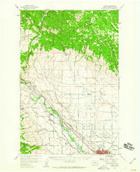
1958 · Thorp
USGS Topo · 1:62,500
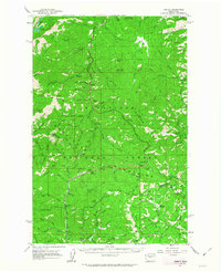
1961 · Liberty
USGS Topo · 1:62,500
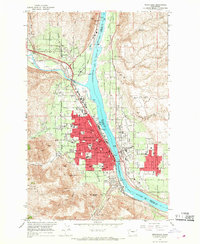
1966 · Wenatchee
USGS Topo · 1:24,000