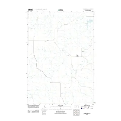
2012 Map of Mission Ridge
USGS Topo · Published 2012About this map
Mission Ridge and the surrounding high plains of Stanley County are defined by a network of drainage creeks and isolated ranching homesteads. The landscape is carved by seasonal waterways like Oak Cr, Brush Cr, and Mission Cr, all feeding toward the eastern edge of the quadrangle where the Missouri River forms Lake Oahe. The settlement pattern reflects the enduring importance of legacy ranching operations, with the Ancel Tibbs Ranch, Doc Tibbs Ranch, and Donelan Ranch serving as primary landmarks in this sparsely populated region.
Find a feature on this map
19 named features on this map. Tap any name to fly to it.
Don’t see what you’re looking for? This feature index may not catch every label — zoom into the map to look around manually.
Map Details
Editions of this 2012 Mission Ridge Map
This is the sole edition of this map. No revisions or reprints were ever made.
Other maps of this area

1954 · Pierre
USGS Topo · 1:250,000

1956 · Rousseau Creek SW
USGS Topo · 1:24,000

1956 · Crockett Mountains
USGS Topo · 1:24,000

1958 · Pierre
USGS Topo · 1:250,000

1969 · Rousseau Creek
USGS Topo · 1:24,000

1969 · No Heart Creek SW
USGS Topo · 1:24,000

1973 · Iron Post Buttes SW
USGS Topo · 1:24,000

1973 · Iron Post Buttes
USGS Topo · 1:24,000

1982 · Mission Ridge
USGS Topo · 1:24,000

1983 · Standing Butte
USGS Topo · 1:24,000