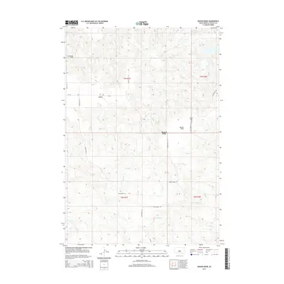
2015 Map of Mission Ridge
USGS Topo · Published 2015About this map
Mission Ridge occupies a prominent position in this Stanley County landscape, serving as both a topographic landmark and a focal point for local settlement. The map documents the rural infrastructure of the mid-2010s, where small community hubs like Orton and the Mission Ridge settlement are connected by a network of sectional roads such as Minneconjou Rd and Fort Bennett Rd. This area is defined by a dendritic drainage system where numerous creeks, including Brush Cr, Mission Cr, and Agency Cr, carve through the Missouri River plateau. The presence of the Mission Ridge Cem provides a specific point of interest for genealogists and local historians, anchoring the community's history to this specific ridge. Land use is largely agricultural and ranching, evidenced by the vast open spaces between named features and the reliance on traditional township and range divisions like t9n r27e and t8n r28e.
Find a feature on this map
23 named features on this map. Tap any name to fly to it.
Don’t see what you’re looking for? This feature index may not catch every label — zoom into the map to look around manually.
Map Details
Editions of this 2015 Mission Ridge Map
This is the sole edition of this map. No revisions or reprints were ever made.
Other maps of this area

1954 · Pierre
USGS Topo · 1:250,000

1956 · Rousseau Creek SW
USGS Topo · 1:24,000

1956 · Crockett Mountains
USGS Topo · 1:24,000

1958 · Pierre
USGS Topo · 1:250,000

1969 · Rousseau Creek
USGS Topo · 1:24,000

1969 · No Heart Creek SW
USGS Topo · 1:24,000

1973 · Iron Post Buttes SW
USGS Topo · 1:24,000

1973 · Iron Post Buttes
USGS Topo · 1:24,000

1982 · Mission Ridge
USGS Topo · 1:24,000

1983 · Standing Butte
USGS Topo · 1:24,000