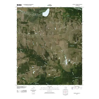
2010 Map of Mitchell Creek
USGS Topo · Published 2010About this map
Mitchell Creek and White Oak Creek define the low-lying drainage patterns of Franklin County in this 2010 survey, where the landscape is a patchwork of small-scale agriculture and industrial extraction. The rural character is preserved in small communities like Eureka and Oakdale, connected by a network of county roads such as FM 71. Industrial presence is concentrated at the Shell Oil Field, while the eastern portion of the map is punctuated by water features including Paradise Lake and its associated Paradise Lake Dam.
Find a feature on this map
37 named features on this map. Tap any name to fly to it.
Don’t see what you’re looking for? This feature index may not catch every label — zoom into the map to look around manually.
Map Details
Editions of this 2010 Mitchell Creek Map
This is the sole edition of this map. No revisions or reprints were ever made.
Other maps of this area

1953 · Texarkana
USGS Topo · 1:250,000

1956 · Texarkana
USGS Topo · 1:250,000

1962 · Sulphur Bluff
USGS Topo · 1:24,000

1963 · Mitchell Creek
USGS Topo · 1:24,000

1963 · Minter
USGS Topo · 1:24,000

1963 · Cunningham
USGS Topo · 1:24,000

1964 · Mount Vernon
USGS Topo · 1:24,000

1964 · Saltillo
USGS Topo · 1:24,000

1964 · Hagansport
USGS Topo · 1:24,000

1964 · Bogata
USGS Topo · 1:24,000