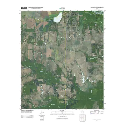
2013 Map of Mitchell Creek
USGS Topo · Published 2013About this map
Oakdale sits at the southern reach of this East Texas terrain, where the landscape is defined by the complex drainage network of the S Sulphur River and Sulphur River. The northern boundary is marked by these slow-moving waterways and their associated wetlands, including Dawson Lake. Central to the quadrangle is the Shell Oil Field, a marker of the region's energy production history, situated near Mitchell Cr.
Find a feature on this map
36 named features on this map. Tap any name to fly to it.
Don’t see what you’re looking for? This feature index may not catch every label — zoom into the map to look around manually.
Map Details
Editions of this 2013 Mitchell Creek Map
This is the sole edition of this map. No revisions or reprints were ever made.
Other maps of this area

1953 · Texarkana
USGS Topo · 1:250,000

1956 · Texarkana
USGS Topo · 1:250,000

1962 · Sulphur Bluff
USGS Topo · 1:24,000

1963 · Mitchell Creek
USGS Topo · 1:24,000

1963 · Minter
USGS Topo · 1:24,000

1963 · Cunningham
USGS Topo · 1:24,000

1964 · Mount Vernon
USGS Topo · 1:24,000

1964 · Saltillo
USGS Topo · 1:24,000

1964 · Hagansport
USGS Topo · 1:24,000

1964 · Bogata
USGS Topo · 1:24,000