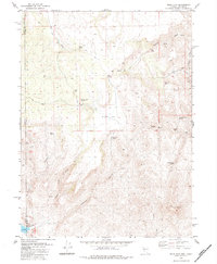
1980 Map of Mixie Flat
USGS Topo · Published 1984About this map
Mixie Flat and the surrounding high desert terrain along the border of California and Nevada are captured here as they appeared in the late 1970s. This arid landscape is defined by its vital water sources, with numerous named springs such as Byers Spring, Indian Spring, and Lone Mountain Spring providing essential points of interest for livestock and local travel. The settlement of Horse Corral stands near Horse Corral Spring, serving as a central landmark in a region where canyons like Wilcox Canyon and Chimney Canyon shape the topography. In the southern reaches of the quadrangle, Smoke Creek Reservoir sits near the headwaters of Smoke Creek, while the prominent Twin Peaks rise above the drainage of Burro Creek. This survey provides a precise record of the trails and water-management features that sustained ranching and transit through these remote basins before modern developments altered the water table.
Find a feature on this map
32 named features on this map. Tap any name to fly to it.
Don’t see what you’re looking for? This feature index may not catch every label — zoom into the map to look around manually.
Map Details
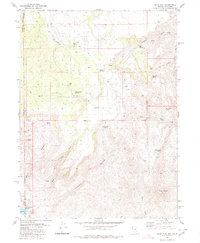
Editions of this 1980 Mixie Flat Map
2 editions found
Other maps of this area

1886 · Honey Lake
USGS Topo · 1:250,000

1886 · Granite Range
USGS Topo · 1:250,000

1891 · Honey Lake
USGS Topo · 1:250,000

1893 · Honey Lake
USGS Topo · 1:250,000

1894 · Granite Range
USGS Topo · 1:250,000

1954 · Observation Peak
USGS Topo · 1:62,500

1954 · Shinn Mountain
USGS Topo · 1:62,500

1955 · Westwood
USGS Topo · 1:250,000

1955 · Lovelock
USGS Topo · 1:250,000

1958 · Westwood
USGS Topo · 1:250,000