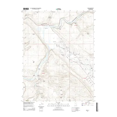
2014 Map of Moab
USGS Topo · Published 2014About this map
The town of Moab serves as the central hub of this 2014 survey, situated where the Colorado River carves through the sandstone landscape. The map illustrates a developed corridor along S Main St and N Main St, extending south into Spanish Valley. This document provides a look at the modern layout of the community, from the northern gateway near Matrimony Spring to the residential streets surrounding Grand Valley Cem.
Find a feature on this map
79 named features on this map. Tap any name to fly to it.
Don’t see what you’re looking for? This feature index may not catch every label — zoom into the map to look around manually.
Map Details
Editions of this 2014 Moab Map
This is the sole edition of this map. No revisions or reprints were ever made.
Other maps of this area

1885 · La Sal
USGS Topo · 1:250,000

1952 · Moab 4 NW
USGS Topo · 1:24,000

1952 · Moab 4 SW
USGS Topo · 1:24,000

1954 · Mt Peale 2 NW
USGS Topo · 1:24,000

1954 · Carlisle 1 NE
USGS Topo · 1:24,000

1954 · Carlisle 1 NW
USGS Topo · 1:24,000

1954 · Mt. Waas 3 NW
USGS Topo · 1:24,000

1954 · Mt. Waas 3 SW
USGS Topo · 1:24,000

1954 · La Sal Junction
USGS Topo · 1:62,500

1954 · Castle Valley
USGS Topo · 1:62,500