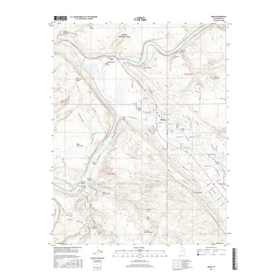
2017 Map of Moab
USGS Topo · Published 2017About this map
Moab and the surrounding Moab Valley are captured here during a period of significant recreational and residential activity. The Colorado River carves a deep path through the red rock landscape, serving as a primary corridor for both road and trail networks. To the north, the southern boundary of Arches National Park includes landmarks such as Park Avenue and Courthouse Wash. The map details an extensive system of modern trails, including The Whole Enchilada and the Slickrock bike trails, which interweave with traditional landmarks like Morning Glory Arch and Corona Arch.
Find a feature on this map
114 named features on this map. Tap any name to fly to it.
Don’t see what you’re looking for? This feature index may not catch every label — zoom into the map to look around manually.
Map Details
Editions of this 2017 Moab Map
This is the sole edition of this map. No revisions or reprints were ever made.
Other maps of this area

1885 · La Sal
USGS Topo · 1:250,000

1952 · Moab 4 NW
USGS Topo · 1:24,000

1952 · Moab 4 SW
USGS Topo · 1:24,000

1954 · Mt Peale 2 NW
USGS Topo · 1:24,000

1954 · Carlisle 1 NE
USGS Topo · 1:24,000

1954 · Carlisle 1 NW
USGS Topo · 1:24,000

1954 · Mt. Waas 3 NW
USGS Topo · 1:24,000

1954 · Mt. Waas 3 SW
USGS Topo · 1:24,000

1954 · La Sal Junction
USGS Topo · 1:62,500

1954 · Castle Valley
USGS Topo · 1:62,500