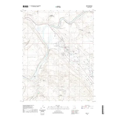
2020 Map of Moab
USGS Topo · Published 2020About this map
The city of Moab serves as the focal point for this 2020 survey, where the concentrated street grid meets the dramatic natural architecture of the desert. The Colorado River carves a deep path through the landscape, separating the residential and commercial blocks of the city from the vast terrain of Arches National Park to the north. Within the town, the Grand County Court House and a network of neighborhood roads like W McGill Blvd and Williams Way illustrate the modern development of this gateway community.
Find a feature on this map
101 named features on this map. Tap any name to fly to it.
Don’t see what you’re looking for? This feature index may not catch every label — zoom into the map to look around manually.
Map Details
Editions of this 2020 Moab Map
This is the sole edition of this map. No revisions or reprints were ever made.
Other maps of this area
1885 · La Sal
USGS Topo · 1:250,000
1952 · Moab 4 NW
USGS Topo · 1:24,000
1952 · Moab 4 SW
USGS Topo · 1:24,000
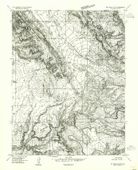
1954 · Mt Peale 2 NW
USGS Topo · 1:24,000
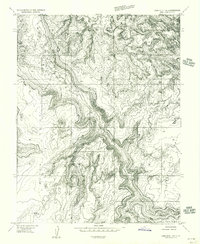
1954 · Carlisle 1 NE
USGS Topo · 1:24,000
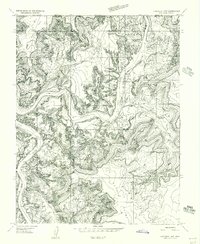
1954 · Carlisle 1 NW
USGS Topo · 1:24,000
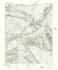
1954 · Mt. Waas 3 NW
USGS Topo · 1:24,000
1954 · Mt. Waas 3 SW
USGS Topo · 1:24,000
1954 · La Sal Junction
USGS Topo · 1:62,500
1954 · Castle Valley
USGS Topo · 1:62,500