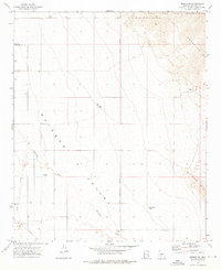
1973 Map of Mobile NE
USGS Topo · Published 1976About this map
Sierra Estrella dominates the northeastern corner of this desert landscape, its steep slopes descending into the broad expanse of Rainbow Valley. This region in the early 1970s is characterized by sparse development and critical water management infrastructure, evidenced by named reservoirs such as Big Mac Tank, Big Bertha Tank, and East Tank. The Gila River Indian Reservation occupies the northern reaches of the quadrangle, bordering the mountain range. Human activity is largely defined by the Gila and Salt River Meridian and the drainage patterns of Waterman Wash and its West Prong. Sparse roads like Chandler Hts Rd and Riggs Rd provide access to the interior, where a solitary Prospect suggests localized mineral exploration in this arid Maricopa County environment.
Find a feature on this map
13 named features on this map. Tap any name to fly to it.
Don’t see what you’re looking for? This feature index may not catch every label — zoom into the map to look around manually.
Map Details
Editions of this 1973 Mobile NE Map
2 editions found
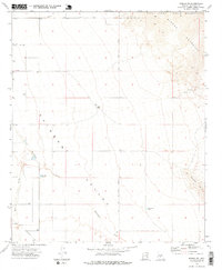
Other maps of this area

1912 · Phoenix
USGS Topo · 1:62,500

1913 · Maricopa
USGS Topo · 1:62,500

1914 · Phoenix
USGS Topo · 1:62,500

1915 · Maricopa
USGS Topo · 1:62,500

1946 · Avondale
USGS Topo · 1:62,500

1948 · Cashion
USGS Topo · 1:62,500

1951 · Mobile
USGS Topo · 1:62,500

1952 · Laveen
USGS Topo · 1:24,000

1952 · Montezuma Peak
USGS Topo · 1:24,000

1952 · Enid
USGS Topo · 1:24,000