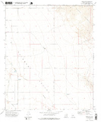
1973 Map of Mobile NE
USGS Topo · Published 1976About this map
Sierra Estrella peaks dominate the eastern horizon of this 1970s desert landscape, marking a sharp boundary for the Gila River Indian Reservation. The terrain below is defined by the broad Rainbow Valley, a drainage basin carved by the winding Waterman Wash and its western tributary, West Prong. This survey illustrates the early stages of infrastructure development in the arid Maricopa County interior, noting the placement of a major Pipeline and early thoroughfares like Chandler Hts Rd and Riggs Rd.
Find a feature on this map
15 named features on this map. Tap any name to fly to it.
Don’t see what you’re looking for? This feature index may not catch every label — zoom into the map to look around manually.
Map Details
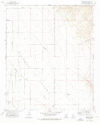
Editions of this 1973 Mobile NE Map
2 editions found
Other maps of this area

1912 · Phoenix
USGS Topo · 1:62,500

1913 · Maricopa
USGS Topo · 1:62,500

1914 · Phoenix
USGS Topo · 1:62,500

1915 · Maricopa
USGS Topo · 1:62,500

1946 · Avondale
USGS Topo · 1:62,500

1948 · Cashion
USGS Topo · 1:62,500

1951 · Mobile
USGS Topo · 1:62,500

1952 · Laveen
USGS Topo · 1:24,000

1952 · Montezuma Peak
USGS Topo · 1:24,000

1952 · Enid
USGS Topo · 1:24,000