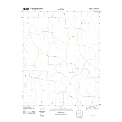
2012 Map of Mocane SE
USGS Topo · Published 2012About this map
Beaver River winds through the southern half of this Oklahoma Panhandle landscape, serving as the primary geographical anchor for a region defined by its wide, semi-arid plains. The river's path is joined by several ephemeral tributaries, including Spring Cr to the north and Duck Pond Cr to the southeast. These watercourses carve subtle relief into the terrain, which is otherwise dominated by a rigid grid of rural section roads such as N1480 Rd and E0098 Rd.
Find a feature on this map
46 named features on this map. Tap any name to fly to it.
Don’t see what you’re looking for? This feature index may not catch every label — zoom into the map to look around manually.
Map Details
Editions of this 2012 Mocane SE Map
This is the sole edition of this map. No revisions or reprints were ever made.
Other maps of this area

1954 · Perryton
USGS Topo · 1:250,000

1958 · Perryton
USGS Topo · 1:250,000

1970 · Knowles
USGS Topo · 1:24,000

1970 · Gate NW
USGS Topo · 1:24,000

1970 · Mocane NW
USGS Topo · 1:24,000

1970 · Mocane SE
USGS Topo · 1:24,000
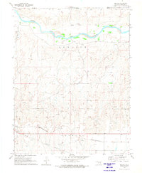
1970 · Mocane
USGS Topo · 1:24,000

1971 · Clear Lake NW
USGS Topo · 1:24,000

1971 · Clear Lake
USGS Topo · 1:24,000

1971 · Logan NW
USGS Topo · 1:24,000