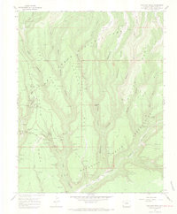
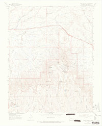
1967 Map of Moccasin Mesa
USGS Topo · Published 1969About this map
Mesa Verde National Park is the focus of this late 1960s study, revealing the dense concentration of ancestral Puebloan sites across Chapin Mesa. The map identifies iconic structures such as Cliff Palace, Spruce Tree House, and Balcony House, alongside lesser-known features like Painted Kiva House and Hemenway House. This edition records the spatial relationship between these cultural landmarks and the physical landscape of Moccasin Mesa and Whites Mesa.
Find a feature on this map
66 named features on this map. Tap any name to fly to it.
Don’t see what you’re looking for? This feature index may not catch every label — zoom into the map to look around manually.
Map Details
Editions of this 1967 Moccasin Mesa Map
3 editions found
Other maps of this area

1912 · Soda Canyon
USGS Topo · 1:62,500

1915 · Soda Canyon
USGS Topo · 1:62,500

1956 · Cortez
USGS Topo · 1:250,000

1958 · Cortez
USGS Topo · 1:250,000

1959 · Cortez
USGS Topo · 1:250,000

1962 · Cortez
USGS Topo · 1:250,000

1965 · Cortez
USGS Topo · 1:24,000
1965 · Mancos
USGS Topo · 1:24,000
1965 · Point Lookout
USGS Topo · 1:24,000

1966 · Cortez
USGS Topo · 1:250,000