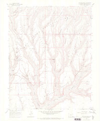
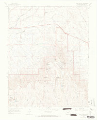
1967 Map of Moccasin Mesa
USGS Topo · Published 1969About this map
Mesa Verde dominates this landscape, defined by a complex network of deep canyons and prominent mesas such as Chapin Mesa and Moccasin Mesa. The area is densely packed with ancestral sites, including the massive Cliff Palace and the specialized Sun Temple. These features are concentrated along the rims and alcoves of Soda Canyon and its many tributaries, like Fewkes Can and Prater Canyon.
Find a feature on this map
60 named features on this map. Tap any name to fly to it.
Don’t see what you’re looking for? This feature index may not catch every label — zoom into the map to look around manually.
Map Details
Editions of this 1967 Moccasin Mesa Map
3 editions found
Other maps of this area

1912 · Soda Canyon
USGS Topo · 1:62,500

1915 · Soda Canyon
USGS Topo · 1:62,500

1956 · Cortez
USGS Topo · 1:250,000

1958 · Cortez
USGS Topo · 1:250,000

1959 · Cortez
USGS Topo · 1:250,000

1962 · Cortez
USGS Topo · 1:250,000

1965 · Cortez
USGS Topo · 1:24,000
1965 · Mancos
USGS Topo · 1:24,000
1965 · Point Lookout
USGS Topo · 1:24,000

1966 · Cortez
USGS Topo · 1:250,000