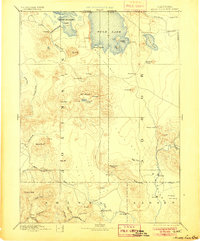
1892 Map of Modoc Lava Bed
USGS Topo · Published 1905About this map
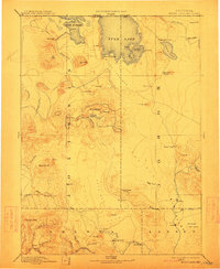
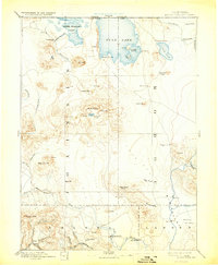
Modoc Lava Bed topography dominates this late 19th-century reconnaissance, covering the intersection of Siskiyou, Modoc, Shasta, and Lassen counties. The landscape is defined by volcanic features, including Glass Mt, Cinder Cone, and an Ice Cave, while the northern portion of the sheet shows the original extent of Tule Lake and Lower Klamath Lake before massive reclamation projects altered the regional hydrology. Local history is anchored by markers of the Modoc War, such as the Modoc Rifle Pit and Bloody Point on the shores of Tule Lake, alongside the early cattle-and-timber outpost of Bieber in Big Valley.
Find a feature on this map
65 named features on this map. Tap any name to fly to it.
Don’t see what you’re looking for? This feature index may not catch every label — zoom into the map to look around manually.
Map Details
Editions of this 1892 Modoc Lava Bed Map
7 editions found
Other maps of this area

1886 · Alturas
USGS Topo · 1:250,000

1886 · Honey Lake
USGS Topo · 1:250,000

1886 · Lassen Peak
USGS Topo · 1:250,000

1886 · Modoc Lava Bed
USGS Topo · 1:250,000

1886 · Shasta
USGS Topo · 1:250,000

1889 · Klamath
USGS Topo · 1:250,000

1890 · Red Bluff
USGS Topo · 1:250,000

1891 · Honey Lake
USGS Topo · 1:250,000

1891 · Ashland
USGS Topo · 1:250,000

1892 · Modoc Lava-Bed
USGS Topo · 1:250,000